For generations, students were taught that Earth has seven continents. That number seemed fixed and unquestionable. Yet deep beneath the waters of the South Pacific, scientists have confirmed the existence of another massive landmass that spent millions of years hidden from ordinary view. Its name is Zealandia, and researchers now consider it Earth’s eighth continent.
The discovery sounds almost unbelievable at first. A continent is usually imagined as a huge stretch of dry land filled with cities, mountains, forests, and deserts. Zealandia breaks that image completely. Nearly 95 percent of this continent sits underwater, making it one of the most unusual geological structures ever identified.
Despite being submerged, Zealandia covers around 5 million square kilometers. To put that into perspective, it is larger than Greenland and roughly half the size of Europe. Only a few parts of it rise above sea level today, including New Zealand, New Caledonia, and several scattered island chains across the Pacific Ocean.
For decades, geologists suspected that something unusual existed beneath this region of the Pacific. The underwater crust looked different from ordinary ocean floor, but proving it belonged to a true continent required years of evidence gathering, mapping, and scientific debate.
What Actually Makes a Continent?
Many people assume continents are defined only by size, but scientists use far more specific rules. A continent must possess a thick continental crust that differs from the thinner and denser crust found beneath oceans. It must also cover a large area, rise above surrounding ocean crust, and contain a coherent geological structure.
Zealandia meets all of these conditions.
Researchers discovered that the crust beneath Zealandia is made primarily of granite and other continental rocks rather than basalt, which typically forms the ocean floor. The continent also has clearly defined boundaries and geological consistency across its enormous underwater area.
This distinction became one of the strongest arguments for officially recognizing Zealandia as a continent rather than labeling it a collection of underwater plateaus.
Scientists spent years analyzing rock samples collected from the seabed. Many of these rocks were incredibly old and contained minerals that could only form within continental crust. These findings revealed that Zealandia shares the same fundamental geological traits as continents like Australia and Antarctica.
Read more: Scientists Detect a 10-Second Cosmic ‘Death Cry’ That Traveled 13 Billion Years To Reach Earth
The Ancient Supercontinent That Started It All
To understand Zealandia, scientists had to look far back into Earth’s prehistoric past.
Around 200 million years ago, Earth’s continents were joined together in a giant supercontinent called Gondwana. This enormous landmass included modern day South America, Africa, Antarctica, Australia, the Indian subcontinent, and Zealandia itself.
Over time, powerful tectonic forces beneath Earth’s surface slowly tore Gondwana apart. Massive plates carrying entire continents drifted in different directions at speeds roughly similar to fingernail growth.
Around 85 million years ago, Zealandia began separating from Australia and Antarctica. As it drifted away, the continent experienced extreme stretching. Its crust became thinner and weaker, almost like dough being pulled apart.
This thinning caused large portions of the continent to sink lower and lower beneath sea level. Eventually, most of Zealandia disappeared underwater, leaving only its highest regions visible above the Pacific Ocean.
Unlike mythical stories about lost civilizations vanishing suddenly beneath the sea, Zealandia’s descent happened gradually over millions of years. It was a slow geological transformation shaped by tectonic movement rather than catastrophe.
How Scientists Finally Proved Zealandia Exists
For many years, the scientific community remained divided. Some researchers supported the idea of Zealandia as a continent, while others argued the evidence was incomplete.
The breakthrough came through modern technology and improved ocean exploration techniques.
Scientists combined several methods to study the submerged landmass. High resolution sonar mapping revealed the shape and structure of the seafloor in remarkable detail. Satellite measurements detected subtle gravitational variations beneath the ocean surface, helping researchers identify hidden continental formations.
Magnetic field analysis also played a major role. Rocks preserve magnetic signatures formed when they originally cooled millions of years ago. By studying these magnetic patterns, scientists traced how Zealandia’s crust shifted and stretched over time.
Researchers also collected sandstone, volcanic pebbles, and mineral samples from deep beneath the Pacific Ocean. Laboratory analysis revealed that many of these rocks dated back more than 100 million years.
Together, this evidence painted a clear picture. Zealandia was not a scattered collection of underwater fragments. It was a single connected continent with its own geological identity.
A Lost World Few People Realize Exists
One reason Zealandia fascinates scientists is because it completely changes how people imagine Earth’s geography.
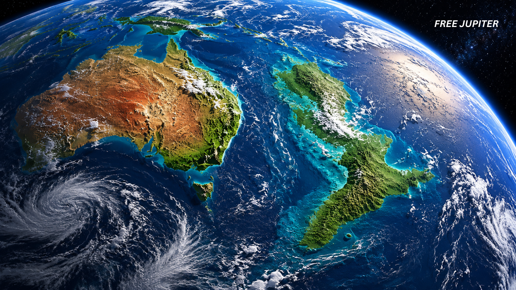
Most maps show the Pacific Ocean as a vast open expanse separating Asia, Australia, and the Americas. Hidden beneath those waters, however, lies an enormous continent stretching across a huge portion of the ocean floor.
If Zealandia had remained above sea level, the world map would look dramatically different today. The Pacific Ocean would appear smaller, and human migration patterns throughout history may have changed entirely.
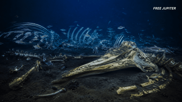
Some scientists believe ancient ecosystems once existed across parts of Zealandia before it submerged. Fossil evidence suggests forests, rivers, and prehistoric wildlife may have inhabited portions of the continent millions of years ago.
As sea levels rose and the continent sank, these landscapes disappeared beneath the ocean.
Read more: Earth’s Seasons Are Now Oddly Out of Sync, New Space Data Has Revealed
Zealandia Is Helping Scientists Understand Earth Better
The hidden continent is more than a geological curiosity. It acts like a preserved archive of Earth’s history.
Continents on land are constantly reshaped by erosion, weather, volcanic eruptions, and human development. Ancient evidence often gets destroyed or buried over time. Zealandia remained relatively protected beneath the ocean, allowing researchers to study geological processes with fewer disturbances.
Scientists are now using Zealandia to better understand how continents split apart, how tectonic plates move, and how underwater volcanic systems develop.
The continent may also provide clues about earthquake activity across the Pacific Ring of Fire, one of the most seismically active regions on Earth.
Some researchers believe studying Zealandia could improve understanding of natural hazards such as tsunamis and underwater volcanic eruptions.
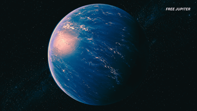
The Pacific Ocean Still Holds Countless Mysteries
The confirmation of Zealandia has reminded scientists how little humans truly know about the deep ocean.
Despite decades of technological progress, large sections of Earth’s seafloor remain poorly mapped. Some estimates suggest humanity understands the surface of Mars better than certain regions of Earth’s oceans.
Advanced underwater drones, satellite imaging systems, and deep sea exploration vehicles are now revealing hidden mountains, trenches, volcanic ridges, and ancient geological formations once impossible to detect.
Zealandia may be one of the largest discoveries so far, but experts suspect other submerged continental fragments could still exist beneath oceans around the world.
Scientists have already identified smaller microcontinents hidden beneath places like the Indian Ocean and the North Atlantic. These discoveries suggest Earth’s crust is far more dynamic and complicated than previously believed.
Read more: Discovery Under Bermuda Reveals A ‘Structure’ Unlike Any Known On Earth
Why Zealandia Captures the World’s Imagination
Part of what makes Zealandia so captivating is how it blurs the line between science and mystery.
The idea of a hidden continent naturally sparks comparisons to fictional lost worlds like Atlantis. Yet unlike myths and legends, Zealandia is supported by measurable scientific evidence.
Its existence reminds people that Earth is still full of undiscovered wonders. Even in a world covered by satellites and digital maps, enormous parts of the planet remain hidden beneath thousands of meters of water.
For researchers, Zealandia represents more than a new entry in geography textbooks. It is proof that scientific exploration still has the power to reshape humanity’s understanding of the world.
Beneath the calm surface of the Pacific Ocean lies an ancient continent that survived millions of years in silence, waiting for technology and curiosity to finally uncover its story.
Featured image: GPT Creation.
Friendly Note: FreeJupiter.com shares general information for curious minds. Please fact-check all claims and double-check health info with a qualified professional. 🌱